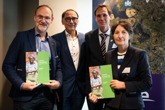
G4AW Programme closure workshop
©Michel Mees
The Geodata for Agriculture and Water (G4AW) end-of-programme publication highlights the outcomes of the G4AW Facility (2013-2024) funded by the Netherlands Ministry of Foreign Affairs and implemented by the Netherlands Space Office (NSO). The programme focused on supporting smallholder farmers through public-private partnerships (PPPs). With a focus on using satellite data and digital advisory services, the programme reached over four million farmers across 15 countries in Africa and Southeast Asia.
The results show that almost two million smallholder farmers experienced improved livelihoods through better access to weather forecasts, crop management advice, and financial services, helping them adapt to challenges such as climate change and pest outbreaks. Notably, 33% of users were women, and 36% were under the age of 35 (youth), demonstrating significant outreach to diverse communities. More than 120 partners have been included in G4AW.
Despite the programme's closure, many of the services developed continue to operate, with 10 of the 25 projects achieving sustainability through robust business models. Eight other projects are still operational but require minimal costs to continue, and four projects are seeking new investment partners to scale their services. Overall, G4AW has successfully demonstrated that digital solutions can improve food security and resilience for smallholder farmers, though continued efforts are required to address barriers to scaling and sustainability.
This report presents key results, lessons learned, and recommendations for the future of geodata-driven agricultural support.
This presentation gives a very condensed summary of the G4AW Programme and next perspectives.
This infographic highlights the main results (policy indicators) of the G4AW programme.
Click here to see some impressions of this event.

©Michel Mees

©Michel Mees
©Michel Mees

©Michel Mees