Sat4Rice
Information services for rice crop management in Vietnam
> Download the Sat4Rice project closure flyer
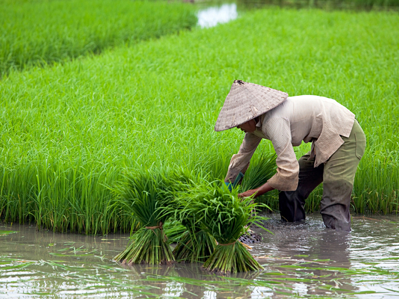
The Mekong Delta in Vietnam is one of the largest rice producing regions in the world. Rice producers in this region, mostly smallholder farmers, struggle to maintain a sustainable rice production due to different factors, including climate change. This affects both the quality and quantity of rice harvests. The Sat4Rice (Satellite data for Rice) project aimed to improve rice production in the Mekong Delta, by providing satellite data driven information services. These information services increase the effectiveness of extension services to smallholder rice farmers.
Extension workers of the Loc Troi Group (LTG), so-called “Farmer Friends”, are provided with near real-time data on production, inputs and environmental factors. Satellite data and field observations are integrated in a geodata platform and are accessible through a browser-based smartphone app. The extension workers transfer the information and knowledge to the farmers to raise awareness, build resilience of local communities and improve the efficiency of inputs for rice production in the Mekong Delta, such as water, fertiliser and pesticides.
The project was carried by a consortium with Loi Troi Group (a Vietnamese agricultural input and trade company), Can Tho University, local public partners, Nelen & Schuurmans (a Dutch geo-IT company, specialised in water management) and SarVision (a Dutch remote sensing company, specialised in radar).
Provided services
The key users of Sat4Rice services are the Loc Troi Farmer Friends. They connect with contract farmers on a weekly basis and provide training on agricultural practices. In the Sat4Rice project they advise the rice farmers in the Mekong Delta, using a smartphone application that connects to geodata platform based on satellite data. This smartphone compatible web app is also used to collect field data and upload it to the platform to improve the quality of the information.
The services offered relate to the determination of general field characteristics, monitoring of rice growth status and monitoring of pest and diseases. The project went through a thorough design trajectory based on user requirements and feedback, optimisation of data flows and the selection of hardware infrastructure (provided by Nelen & Schuurmans and SarVision). One of the aims was to minimise technical and organisational complexity, which led to the use of existing technologies and organisational structures, i.e. the Farmer Friends of Loc Troi, who were already familiar with the use of smartphones. A downside of this approach is that of interaction with farmers is limited to the visits of the extension agents.
The role of Earth observation changed throughout the project and shifted towards crop monitoring and pests and diseases monitoring, which are mainly based on the use of Sentinel data. The originally envisaged service on early warning for pests and diseases and early warning for floods had to be abandoned because insufficient data was available or data acquisition was too expensive.
Business model
The Sat4Rice business case uses an inclusive business model, i.e. Loc Troi Group is paying for service provision based on an internal business case. This arrangement makes Loc Troi the client and Nelen & Schuurmans and SarVision the business owners.
In addition business-to-consumer (B2C) and/or business-to-business (B2B) models can be applied to other customers. There are three distinct types of value propositions: optimisation of the rice production chain, pest control and rice quality control. The overview of rice production over time offers additional benefits to LTG for logistics and financial planning.
Impact
A system was set up with innovative services for rice crop monitoring and pests and diseases monitoring, embedded in a local organisation (Loc Troi). Through this arrangement contract farmers and extension officers, including those of the Vietnamese Department of Agriculture and Rural Development, could be reached and trained.
To capitalise on this, the continued support of Loc Troi is a necessary condition for success and further expansion in Vietnam, but this stopped in 2019. Initiatives with potential clients in Vietnam have not led (yet) to concrete results. Outside Vietnam, a pilot with Sat4Rice services was conducted in Pakistan, but did not receive a follow-up. The dependence on extension officers may have been a strong point of Sat4Rice as a project, but could be a less appropriate model when trying to develop Sat4Rice as a business.
The project showed that the creation of a data infrastructure and information on crop monitoring provides more added value for policy development and extension planning than it benefits individual small farmers. The options are therefore to focus on government organisations as potential clients and/or add more functionalities, e.g. early warning and weather forecasts, to make it more interesting for agribusinesses and to reach farmers more directly.
Partnership
Lead partner:
- VinaNed (Netherlands)
Partners:
- Can Tho University (Vietnam)
- Loc Troi Group (Vietnam)
- Ministry and Department of Agriculture (MARD/DARD) (Vietnam)
- Nelen & Schuurmans (Netherlands)
- SarVision (Netherlands)
> Visit the reporting tool for project results and updates
| Country | Vietnam |
| Services | Crop management adviceFertilizer adviceIrrigation adviceGood agricultural practicesPest and disease information/adviceFlood mitigation advice |
| Crops | Rice |
| Target groups | Farmer (smallholders) |
| Project period | 2015-2018 |