MYVAS4Agri
Htwet Toe and VLSS apps using geodata connect smallholder farmers and agriculture professionals
> Download the MYVAS4Agri project closure flyer
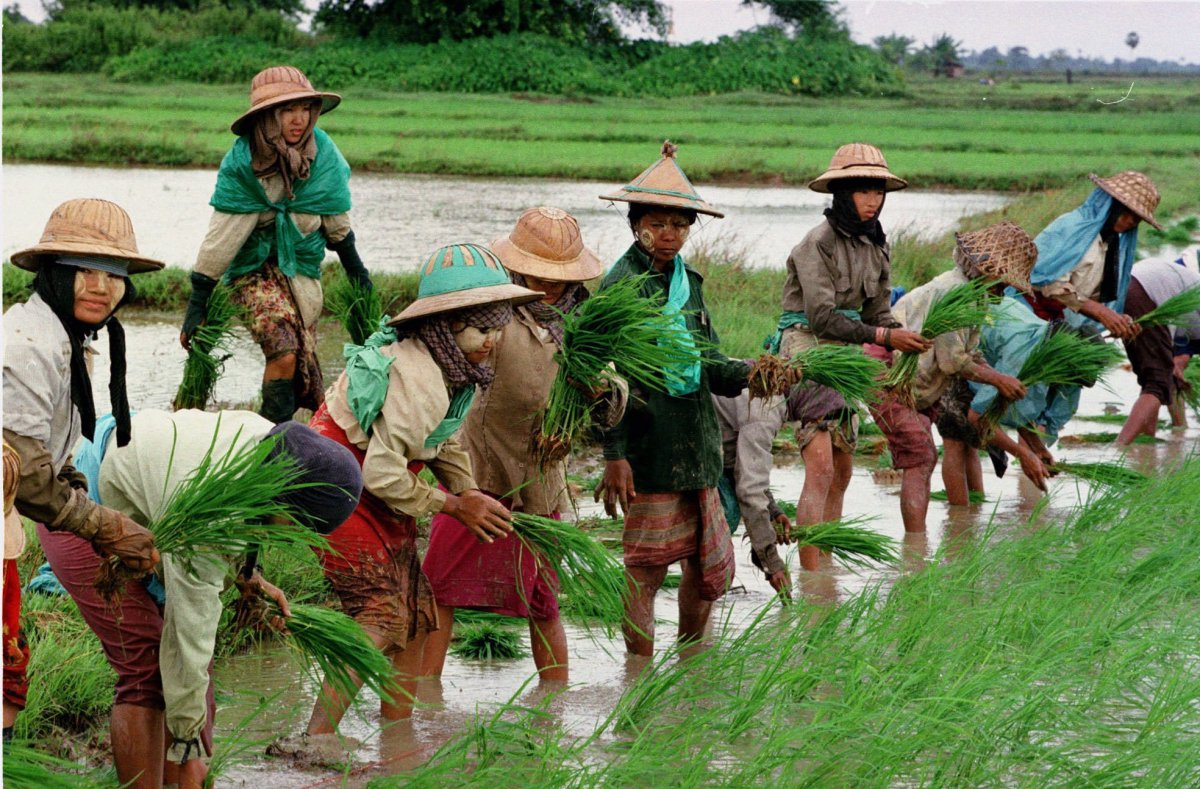
The Myanmar Mobile Value Adding Service for Agriculture project (MYVAS4AGRI) aimed to provide agricultural services to farmers and to connect farmers to other stakeholders in the agricultural value chain. Farmers receive information and advice through various channels, including a mobile app called Htwet Toe. The service is available in all regions of Myanmar. Village Link is the entity responsible for the delivery of these services. Village Link also caters to commercial clients, who are interested in using farmer data and getting farmer insights.
The services are provided for a large number of crops, including (four varieties of) rice, maize, pulses, groundnut, onion, potato, chili, pulses and sesame.
The project lead is the Myanma Awba Group, a manufacturer and distributor of agricultural inputs and technology. Together with project partner Miaki Myanmar the Awba Group established Village Link, an agtech specialised in connecting farmers with digital technology. The Department of Agriculture of the Ministry of Agriculture, Livestock and Irrigation is the project partner from the government side, while the Dutch companies Weather Impact, TerraSphere and SarVision provide technical input.
Provided services
MYVAS4AGRI provides the following services to farmers: crop guidance and advice on good agricultural practices related to seed selection, land preparation, fertiliser and pests and diseases management, irrigation and post-harvest management. In addition weather advisory services, daily market information and farming financial management advice are provided.
As indicated above the services are delivered through the Htwet Toe mobile phone app and the Htwet Toe Call Centre. The weather service, for example, consists of a five-day weather forecast, a forecast of the onset of the monsoon, a seasonal forecast and alert services for heavy rains.
Crop monitoring and land monitoring analytics is offered mostly to business partners. The information provided covers features such as crop extent, crop type, crop phenology, crop damage, crop health and flood monitoring.
Several accompanying measures are implemented to increase the loyalty of the farmer. Digital farmer communities are created and location-specific information, such as local news, is added to the Htwet Toe app. Promotion is done through radio broadcasts, digital marketing, extension workers, agricultural fairs and village leaders.
The backbone of MYVAS4AGRI is the Village Link Satellite Service (VLSS), which consists of a data infrastructure, where the three technical data and service providers (Weather Impact, TerraSphere and SarVision) store and process their data and transfer the data to the frontend of the platform. Paying clients can access crop monitoring and land monitoring analytics through the business-to-business (B2B) side of the VLSS platform, while farmers can access weather data for free through the business-to-consumer (B2C) part of the VLSS platform, the app, the website or the Htwet Toe Facebook page.
A combination of optical and radar satellite data is used. A first data category deals with weather analysis, forecasting, monitoring and historical time series, the second data set consists of meteorological and remote sensing data that is transformed into quantitative crop, water and climate parameters.For weather monitoring, Weather Impact uses several satellite datasources and the model of the European Centre of Medium Range Weather Forecast (ECMWF). This is complemented by other data sources, such as topographic maps and weather station data. SarVision attempted to use Sentinel-1 radar satellite data to produce cropland extent maps, crop type extent maps and crop growth stage maps, but this turned out to be too complicated. Classification based on Sentinel-2 data yielded better results, TerraSphere uses these to map crop extent and crop health status.
Business model
The business model is a combination of various types, whereby information services are free-of-charge for farmers and commercial clients pay for information about farmers performance and operations. For Myanma Awba and potential other value-adders, offering services as those developed by MYVAS4AGRI, this free-of-charge approach creates loyalty towards the other products and services it sells. Village Link is the business owner responsible for monetising the data infrastructure and delivering the business-to-business services to interested clients. A number of pilots have already been carried out and discussions are going on with other potential clients. Bundling with other services or other service providers is also an option. There are, however, some bottlenecks related to government tightening regulations for weather and geodata services and disappointing revenue generation from advertising.
Impact
MYVAS4AGRI has succeeded in onboarding many farmers through the provision of relevant services. More than 800,000 farmers installed the Htwet Toe app. Over 90% of surveyed farmers indicated that the information they received was useful. Considerable increases in yield (8% for rice and 28% for maize) and income were also reported (36% for rice and 73% for maize). The COVID-19 pandemic and the security situation affected MYVAS4AGRI negatively, although it was appreciated that Village Link was one of the few organisations that continued the delivery of services to farmers during these difficult times. The highly valued MYVAS4AGRI cyclone warnings are a good example of this.
Partnership
Lead partner:
- Myanma Awba Group (Myanmar)
Partners:
- Department of Agriculture (Myanmar)
- Miaki (Myanmar)
- SarVision (Netherlands)
- TerraSphere (Netherlands)
- Village Link (Myanmar)
- Weather Impact (Netherlands)
> Visit the reporting tool for project results and updates
| Country | Myanmar |
| Services | Crop management adviceGood agricultural practicesPest and disease information/adviceWeather informationMarket information |
| Crops | RiceGreen and black gramMaizeGroundnutPotatoSesame |
| Target groups | Farmer (smallholders) |
| Project period | 2018-2022 |