SUM Africa
Transforming Africa’s food system through low-cost insurance products
> Download the SUM Africa project closure flyer
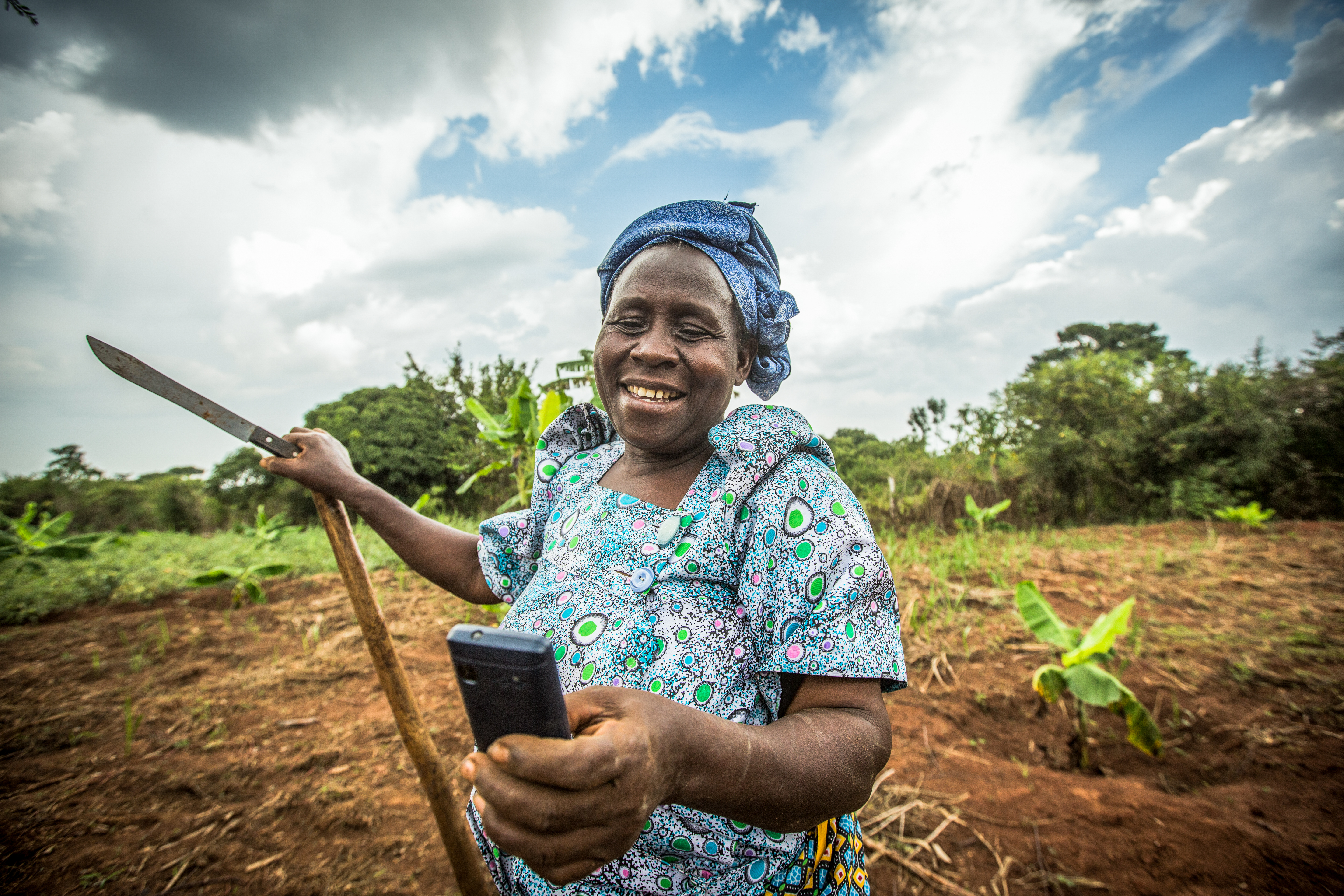
Drought and excessive rainfall are the two largest causes of crop loss in Africa, keeping farmers stuck in poverty. Insurance can help farmers to escape this poverty trap. Insurance coverage can also enable farmers to obtain access to credit and invest in agricultural inputs, which leads to higher production and income. The SUM Africa (Scaling Up Micro-insurance in Africa) project aimed at scaling up low-cost and large-scale index insurance against drought and excessive precipitation. The project was carried out by a consortium led by the Dutch remote sensing company EARS, which was later acquired by eLEAF. The activities took place in two African countries: Uganda and Mali.
The services were offered for different crops. In Uganda, for example, farmers had access to insurance for coffee, maize, and beans, as well as a generic drought index insurance.
Provided service
The services are based on the processing of Meteosat visible and thermal infrared hourly satellite data to daily actual, potential and relative evapotranspiration (RE) . Time series of the RE data, as well as from the CHIRPS semiglobal precipitation dataset, are then extracted for the target countries and serve as the basis for the drought and excessive precipitation index coverage. The next step is the design of the index structure, which includes the phasing of the growing season and the determination of the start of season trigger and pay-out conditions. Then a historic simulation is done of the pay-out for all locations as a function of the various index insurance settings and parameters, leading to a burning cost and risk premium. After that, the design of the product is presented to the partners and the re-insurer for evaluation and pricing and a finetuning based on field information and the needs of the local partners. The use of satellite data is essential for the initiative’s success.
An online platform for operators is available, where index time series as well as current season values can be viewed. The design and monitoring process are automated as much as possible.
Business model
The SUM Africa project succeeded in creating a sustainable business case in Uganda, with continued operations after the end of the project. In Mali it proved much harder to develop a viable business case due to lack of government support and safety issues. eLEAF provides their services as business-to-business (B2B) to local insurance companies, agribusinesses, farmers’ organizations, and financial institutions, who deliver the insurance products to farmers in a business-to-consumer (B2C) model. In this way the local insurance partners are the business owners, while eLEAF provides the index design and monitoring services that make it possible for the insurers to offer insurance policies and manage an agricultural insurance portfolio.
Impact
The SUM Africa project has proven that when the right conditions are created, i.e. government support and a safe operating environment, there is a market for drought and excessive rainfall index insurance products based on satellite data.
In Uganda, more than 70,000 insurance policies were sold in the last year of the project and sales have continued to scale up since the project end. In 2022 alone around 250,000 weather index insurance policies were sold, protecting well over a million farmers in rural parts of Uganda. The Ugandan Government subsidises the insurance policies with 50% for smallholder farmers and even up to 80% in high-risk areas.
The years 2021 and 2022 have seen a lot of payouts due to extreme weather conditions. The multi-year loss ratio of the AgroConsortium is currently around 40%, which means that on average around 80% of all premiums paid by the farmers have been used to compensate farmers who experienced crop losses.
In Mali activities were unfortunately discontinued, because there was insufficient interest in uptake of the insurance based on the activities developed during the project period. However, there have been various spin-off activities developed in several countries during and following the project period, including Burkina Faso, Senegal, Cameroon and Mozambique. Ultimately, eLEAF and its SUM Africa partners have managed to operationalise and commercialise a highly impact oriented business, protecting an increasing number of farmers in Africa today and tomorrow.
| Country | Mali, Uganda |
| Services | Crop index insurance |
| Crops | MaizeMilletRiceSorghumCoffee |
| Target groups | Agri-businessFarmer organisationInsurance companyGovernment |
| Project period | 2014-2018 |