G4INDO
Geodata for agricultural insurance in Indonesia
> Download the G4INDO project closure flyer
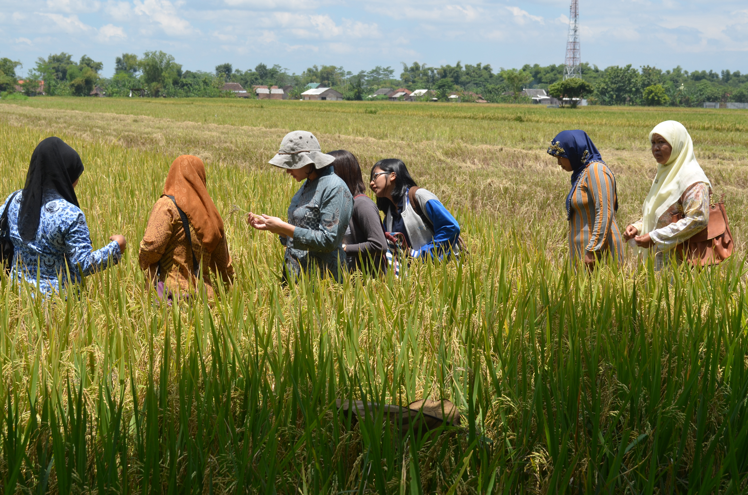
The Indonesian Government has developed a crop insurance policy to assist farmers and to boost food security. The G4INDO consortium developed an IT platform for the Indonesian Jasindo insurance company to assess claims using processed satellite data. The objective was to provide this insurance service, combined with crop suitability advice, to at least 200,000 smallholder rice farmers, with an average of one or two hectares of land. The project was implemented on Java, Indonesia.
Provided services
With the help of the G4INDO platform crop growth can be determined by calculating a parameter called the leaf area index (LAI) using radar and optical satellite imagery (Sentinel 1 and 2). Crop development is monitored over a growing season to detect anomalies. It is possible to distinguish between crops that are healthy, damaged by flooding or under drought stress. To enable a proper assessment of insurance claims, a satellite-derived crop mask and information on administrative boundaries are developed.
Every Jasindo branch office on Java, where claims are verified, has access to the G4INDO-platform. Jasindo claim assessors use the platform to assess crop damage and to process claims. 73% of all damage claims that farmers submit can be verified remotely with the help of this platform.
Business model
The G4INDO service is closely linked to the national insurance programme of the Indonesian government. In 2013, insurance provider Jasindo was entrusted by the Government of Indonesia through the Ministry of Agriculture with the implementation of this programme. Establishing an insurance scheme for smallholder rice farmers was one of the first priorities. The ownership of the G4INDO service and products resides with the Dutch service providers. The Indonesian government partners are responsible for the continuous provision of satellite data. Jasindo received a free license-to-operate. It proved difficult, if not impossible, for Indonesian government organisations to work on a commercial basis with foreign companies. This complicated the development of a successful business model. An alternative approach is now explored, where services derived from the platform are sold to Indonesian agribusinesses.
Impact
The potential impact of the project depends on the progress made by the Indonesian government on the national insurance plan. As the completion of this national plan was delayed the G4INDO services could only start insuring rice farmers in 2018. In addition, Jasindo needed a licence-to-operate to make use of the G4INDO service. Another complicating factor was that on-site inspections were still a condition imposed by the Government for the granting of claims.
As a result, project activities were mainly carried out in pilot form. However, these pilots showed very promising results, in terms of speeding up processing time and reduction in personnel input needed.
TerraSphere (one of the Dutch private sector partners) signed a memorandum of understanding with the Indonesian agricultural technology company HARA in 2018. This collaboration makes it possible to transfer the G4INDO service to a commercial setting by incorporating the services in the existing HARA app targeted at farmers. TerraSphere opened an office in Indonesia in 2020 and have started the introduction of GEOPOTATO (resulting from another G4AW project) that provides early warning for late blight disease in potatoes that started in Bangladesh and has since been expanded to India as well.
Partnership
G4INDO’s partnership consists of 8 organisations, each with their own expertise:
Lead partner:
- Alterra Wageningen University (Netherlands)
Partners:
- Radar and optical remote sensing technology (Wageningen University, SarVision and TerraSphere, Netherlands)
- Royal Netherlands Meteorological Institute (KNMI, Netherlands)
- Rural conditions in Java, hydrology, crop growth modelling (Wageningen Environmental Research (previously Alterra), Wageningen Plant Research and Deltares, Netherlands)
- Smallholder insurance systems (Syngenta Foundation for Sustainable Agriculture, Switzerland; NDI, Great Britain)
| Country | Indonesia |
| Services | Crop index insurance |
| Crops | Rice |
| Target groups | Insurance company |
| Project period | 2014-2017 |