GEOBIS
3333 Geodata Based Information Services for smallholder farmers in Bangladesh
> Download the GEOBIS project closure flyer
The GEOBIS (GEOdata-based Information Services for small farmers) project developed and implemented information and advisory services for smallholder farmers in Bangladesh (starting in Rangpur province). The aim of GEOBIS was to improve agricultural productivity, yield and farmer income and to increase resilience to weather-related extreme events.
The services focusses on good agricultural practices and weather alerts. The services are linked to the operational practices of Lal Teer Seed Ltd., a provider of agricultural inputs. Lal Teer led the GEOBIS consortium that consisted of six Bangladeshi and Dutch partners.
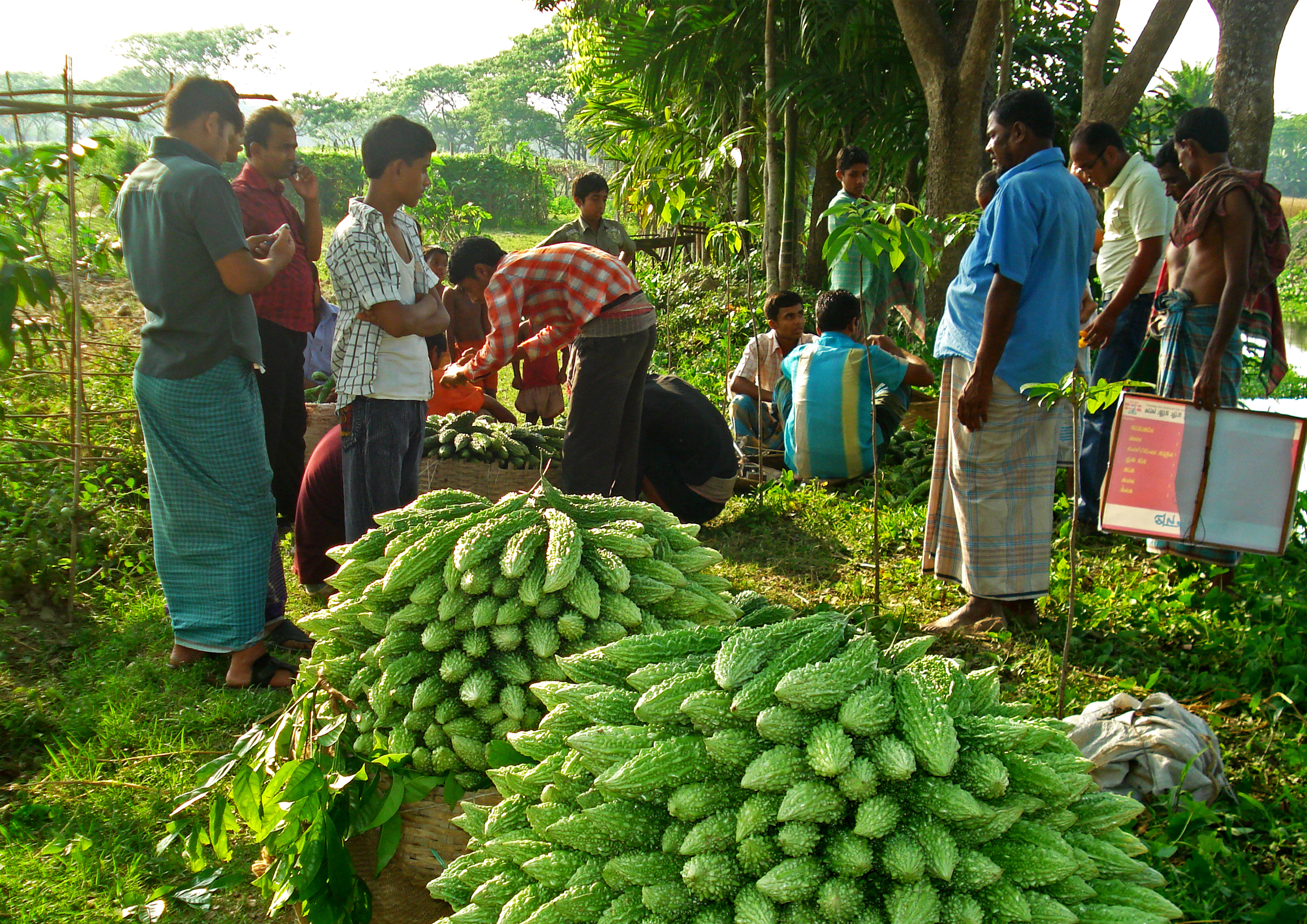
The services are delivered for 12 crops: maize, tomato, potato, radish, pumpkin, chilli, okra, cucumber, bottle gourd, bitter gourd, rice and eggplant.
Provided services
The services concern the following topics for each of the 12 crops: seed variety and quantity, seed bed preparation and land preparation, sowing and transplanting (timing, how to), irrigation and application of fertilisers and agrochemicals (timing, quantity, type). In addition, weather forecasts and alerts are provided. Farmers can also buy insurance through Lal Teer.
The services are delivered through text messages, interactive voice response (IVR) and a call centre. The farmers choose one or more of the options, subscribe to the system and provide information on location, crop and sowing date to receive the appropriate advice. Lal Teer makes use of the phone number “3333” to facilitate access to the services and to respond to queries. This phone number is displayed on the seed sachets it sells.
The existing monitoring system of Lal Teer was used as basis for project implementation. New functionalities were designed and added to accommodate the GEOBIS services.
Earth observation has a supporting role in GEOBIS. The resolution of the satellite data that was too coarse to provide relevant advice to individual farmers, although advice at the level of clusters of farms may have added value.
Business model
GEOBIS changed its selling strategy from a subscription fee approach to the offering of three bundled packages. Lal Teer negotiated a rate reduction (~50%) with mobile network operators for farmers receiving GEOBIS SMS messages or voice messaging.
The difference between the “basic”, “premium” and “gold” packages is determined by the limit on amount of minutes for contact with a call centre or voice response interaction and the number of text messages. All packages allow access to Krishi Radio (which delivers news and information updates on farming) and the premium and gold packages also include a certain amount of internet access. Insurance is part of the gold package through a separate arrangement with an insurance company. Buying a SIM-card offered by a certain network operator in combination with the premium package further reduces the price with an additional 20%. Farmers also have the option to pay for just a one-time query. Buying the SMS-message service in combination with a sachet of improved seeds is also a possibility.
Lal Teer is the business owner of the GEOBIS services. Lal Teer has taken care that all packages are vetted and approved by the Bangladesh Telecom Regulatory Authority, which is a requirement for mobile network operators. Lal Teer also has licences for the phone number “3333” with four major mobile network operators in Bangladesh. Service level agreements were signed with the GEOBIS partners to continue development and delivery of the services.
Impact
During the first years of the project Lal Teer invested in creating awareness and proving the relevance of the service. To this end 35,000 basic packages and 50,000 seed packages were distributed among farmers for free. Face-to-face advice delivered by Lal Teer extension workers was also not charged for. After the start-up phase, the payment model was introduced. By the end of the project, the GEOBIS service had generated close to €100,000 in revenue.
The smallholder farmers appreciate the quick response and the ease of accessing the call centre. They also were very positive about the effectiveness of the SMS messages. Advice on the use of pesticides and seed management was rated highest.
Lal Teer’s distribution network and large farmer database have facilitated awareness raising and marketing. New offices were opened, employees trained and many events were held to introduce farmers to the services. The use of distributors and lead farmers was instrumental for scaling up. The continued offering of the GEOBIS services after the end of the project depends on the revenue that Lal Teer generates from the bundled packages and the sales of its associated products, such as seeds.
Partnership
Lead partner:
- Lal Teer Seed Limited (Bangladesh)
Partners:
- Capacity building and research: Interdisciplinary Centre for Food Security (ICF) at Bangladesh Agricultural University (BAU) (Bangladesh)
- Geodata processing and Earth observation for user applications: Wageningen Environmental Research (previously Alterra), Wageningen University (Netherlands)
- Imagery, software and consultation for utilization of Earth observation data: Netherlands Geomatics & Earth Observation B.V. (NEO) (Netherlands)
- IT-platform and web-based solutions: mPower (Bangladesh)
> Visit the reporting tool for project results and updates
| Country | Bangladesh |
| Services | Crop management adviceIrrigation adviceFertilizer advicePest and disease information/adviceWeather information |
| Crops | PotatoRiceVegetables |
| Target groups | Farmer (smallholders) |
| Project period | 2015-2018 |